Local News
Mentor's Lake Erie Drinking Water and Headlands Ecology Face Drilling Activity With Limited Local Oversight
Permit records show 196 drilling permits issued in Lake County over 24 months, but state law and a Supreme Court ruling leave Mentor with limited power to regulate activity near its water source.
By Staff · September 3, 2026
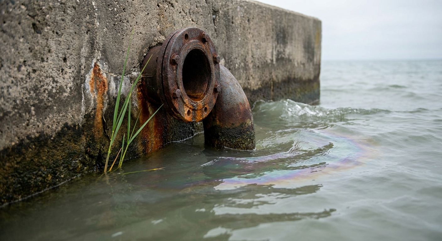
Mentor's drinking water comes from Lake Erie. Its recreation economy and property values are built around a waterfront that includes Headlands Dunes State Nature Preserve — what the Ohio Department of Natural Resources calls the best remaining Lake Erie beach community in the state. Yet as of mid-2026, Lake County has 64 producing horizontal wells and 27 more permitted, with 196 drilling permits issued in the prior 24 months alone.
Whether Mentor's watershed protections, regulatory authority and water monitoring match those stakes is a question the permit records, ordinances and testing data answer with uncomfortable clarity.
Active drilling permits, but legal shields for the preserve
ODNR's quarterly horizontal well activity report shows 64 producing horizontal wells in Lake County as of the second quarter of 2026, a sign of active shale-related development in the county where Mentor sits. The agency's Ohio Oil & Gas Well Database and Wells Viewer map allow searches by county, operator, permit number and location; permit-specific inquiries can be directed to ODNR's public records office at 614-265-6922 or [email protected].
Recent state approvals for fracking on public lands have focused on eastern and southeastern Ohio — Egypt Valley Wildlife Area, Jockey Hollow Wildlife Area and Salt Fork State Park — with no recent reporting of drilling approvals at Headlands Beach State Park.
State law provides two layers of explicit protection for the preserve itself. Ohio Revised Code Section 155.33 prohibits state nature preserves owned or controlled by a state agency from being nominated or leased for oil and gas exploration and development. Ohio Administrative Code bars anyone from collecting, removing, injuring or otherwise disturbing minerals or other substances within any nature preserve under ODNR supervision, except as the rule itself allows.
Ohio law also requires permit applications to identify whether proposed water withdrawals come from the Lake Erie watershed or the Ohio River watershed, and to locate the drilling unit by section or lot number, municipality, township and county with a survey map.
Ohio Supreme Court ruling limits what Mentor can do on its own
Mentor's codified ordinances include a Planning and Zoning Code and industrial district standards, but they are framed as general land-use and performance rules — not a dedicated fracking permitting system.
That distinction matters because of the Ohio Supreme Court's decision in State ex rel. Morrison v. Beck Energy Corp. The court held that Munroe Falls could not impose its own separate permitting scheme on an oil and gas well already permitted by the state under R.C. Chapter 1509, concluding that local ordinances that discriminate against, unfairly impede or obstruct state-permitted oil and gas activities are preempted.
The ruling treated R.C. 1509.02 and Chapter 1509 as general law governing oil and gas regulation, barring municipalities from layering duplicative local permitting on top of the state system — though it did not necessarily eliminate all local zoning authority related to oil and gas. In practice, the decision gives ODNR sole and exclusive authority over permitting, location, spacing and related production operations, leaving municipalities like Mentor with limited tools to regulate drilling within their borders.
A new state law narrows the window further. Gov. Mike DeWine signed Ohio Senate Bill 219 in late June 2026, requiring permit decisions within seven days for expedited applications and allowing each operator up to 10 expedited requests per year.
Water testing monitors for bacteria and nutrients — not drilling contamination
Lake County Utilities Water Division collects more than 120,000 samples each year at treatment facilities, reservoirs and point-of-use locations, tested by state-certified employees and laboratories. The utility reports that drinking water meets local, state and federal standards.
Lake County General Health District monitors surface water at 24 locations with quarterly sampling for E. coli, dissolved oxygen and nitrates, posting results to a public dashboard. During summer months, the district also tracks beach bacteria levels at Headlands Beach State Park and Fairport Harbor Lakefront Park.
Neither the utility's nor the health district's public materials document a specific testing program for oil-and-gas contamination indicators such as methane, bromide, chlorides or radionuclides.
Ohio State University Extension identifies chloride, sodium and dissolved methane as indicators of oil-and-gas-related contamination and recommends annual testing of private wells, with additional sampling near active development. USGS studies in eastern Ohio found some stream samples with elevated sodium and chloride consistent with possible oil-field brine influence, though baseline assessments reported no exceedances of Ohio EPA aquatic life criteria in the study area.
The gap between what the county tests for and what scientists say drilling can introduce into water remains unaddressed in any public document the Herald reviewed.
Headlands preserve hosts rare species and active restoration
Headlands Dunes State Nature Preserve, at 9601 Headlands Road in Mentor, protects rare dune and beach plant communities and ranks among Ohio's premier birding sites, with documented rarities including piping plover, red phalarope, purple sandpiper and Kirtland's warbler.
Active habitat restoration is underway in the western section of Headlands Beach State Park, where the City of Mentor has described a project removing approximately seven acres of asphalt parking lots and replacing them with a coastal wetland dune-and-swale community planted with native wetland species to improve habitat for migrating species.
The ODNR Division of Natural Areas and Preserves manages the site and can be reached at [email protected] or 614-265-6453.
Where the gaps leave Mentor
The risks are not hypothetical elsewhere in Ohio. State regulators persuaded four injection wells in Washington County to voluntarily stop accepting fracking waste after concerns that highly radioactive brine could migrate out of the injection zone and threaten drinking water. More than 240 injection wells operate across the state, including four within two miles of Marietta's drinking water sources — though tests there have not yet detected brine in treated water.
For Mentor, the specific stakes are the Lake Erie drinking water supply drawn through lakefront intakes, property values tied to waterfront access, the recreation economy around Headlands Beach State Park, and rare dune ecosystems state scientists say have no equal left on the lake.
Active horizontal drilling in Lake County, an expedited state permitting process that now requires decisions within seven days, an Ohio Supreme Court precedent that blocks local permitting overlays, and county water monitoring that does not currently test for oil-and-gas contamination indicators add up to a straightforward conclusion: Mentor officials have little direct control over drilling decisions that could affect the watershed defining their community — and no public monitoring program designed to catch the contamination scientists associate with that drilling.